
Chaithanya Kotha
NovaGuide provides accessible indoor navigation for blind and visually impaired people in public buildings. By combining IMDF-based map data (Indoor Mapping Data Format) with adaptive user interfaces, the system enables independent mobility – without the need for additional infrastructure or expensive assistive technology.
Whilst outdoor navigation has long been solved thanks to GPS, finding one’s way around buildings remains one of the biggest barriers in everyday life – particularly in complex environments such as railway stations, where precise and absolutely reliable guidance is vital. The idea originated within our team and was strategically developed further during the Digital Mobility Lab BW 2025 organised by the state-owned public transport company Baden-Württemberg GmbH (NVBW).
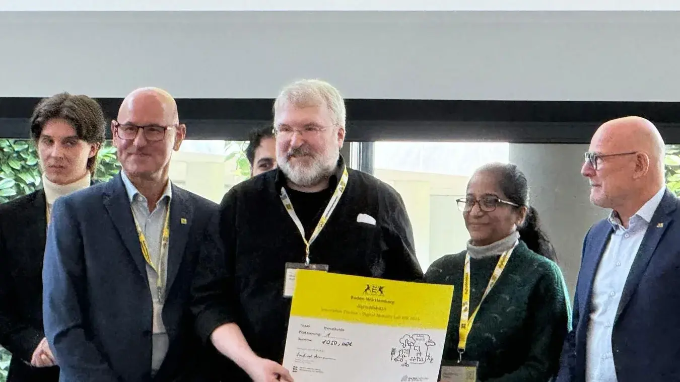
We are currently collaborating with Stuttgarter Straßenbahnen AG (SSB), for whom we have already mapped a real station based on their geodata in the IMDF standard. This process has revealed two critical market gaps: the lack of accessible, user-centred indoor navigation solutions, and the shortage of efficient tools for creating spatial indoor data. NovaGuide solves both problems.
Our application offers multimodal navigation on a single platform:
- Audio guidance for blind users
- Optimised visual interfaces for people with visual impairments
- Traditional map-based navigation for sighted people
A key unique selling point is our integrated ‘helper function’, which allows human assistance to be called upon at the touch of a button should automated navigation prove insufficient in a given situation. By combining accessibility, open data standards and direct practical testing in real-world environments, NovaGuide lays the foundation for scalable, inclusive mobility.
What are your biggest challenges at the moment?
The main technical challenge is to ensure absolutely reliable indoor positioning with the precision required for navigation in complex environments such as underground stations. Current approaches, such as Wi-Fi-based positioning, still require very complex calibration and continuous optimisation.
Another hurdle is the creation and maintenance of high-quality indoor spatial data. Although IMDF is establishing itself as a new standard, its adoption is hampered by the lack of accessible software tools and the complexity involved in transforming existing GIS data.
Equally critical is continuous user validation: to develop a user interface that meets the real needs of blind and visually impaired people, iterative testing cycles and very close collaboration with the target groups are required. Last but not least, the scaling of our solution depends on long-term partnerships with transport operators and integration into existing mobility systems, which presents both technical and organisational challenges.
What is your goal for the EXIST-Women programme period?
Our goal for the duration of the EXIST-Women programme is to significantly improve the prototype and thoroughly prepare NovaGuide for real-world use. This includes optimising indoor positioning, refining the app interface and conducting structured user tests with affected individuals.
At the same time, we want to simplify the creation of digital indoor maps so that we can quickly scale our solution to other locations. In parallel, we will be working intensively on our business model and consolidating strategic partnerships with transport operators.